
location
Israel
Ministry of Housing
Urban Planning of a Residential Neighborhood
435,000 sqm
Completed 2003
Ramla has an exceptional geographical location that gives the city unique advantages and potential for rapid integration into the economic and urban development of the Central District. Ramla is located between two large metropolitan areas, the Dan region to the west Jerusalem to the east. Furthermore, it is adjacent to the cross country road, highway 6, which is an important part of the transportation infrastructure.
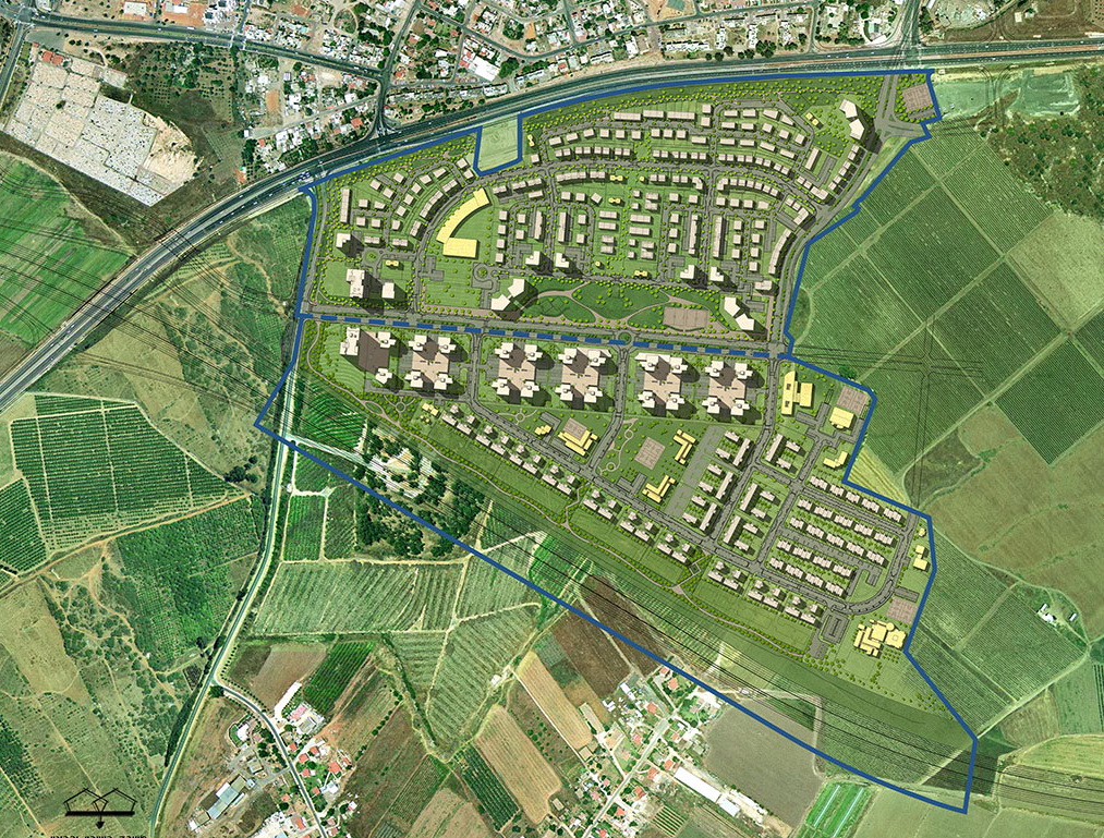
The new neighborhoods at the Mazliah site will connect naturally to the city via two main arteries, Bialik St. and Klausner Street, thereby creating continuity between the Old City and the new neighborhoods.
The new neighborhoods in “Moshav Mazliach” will be connected to the city of Ramle with two major arteries and thereby create continuity between the old town and the new neighborhoods.
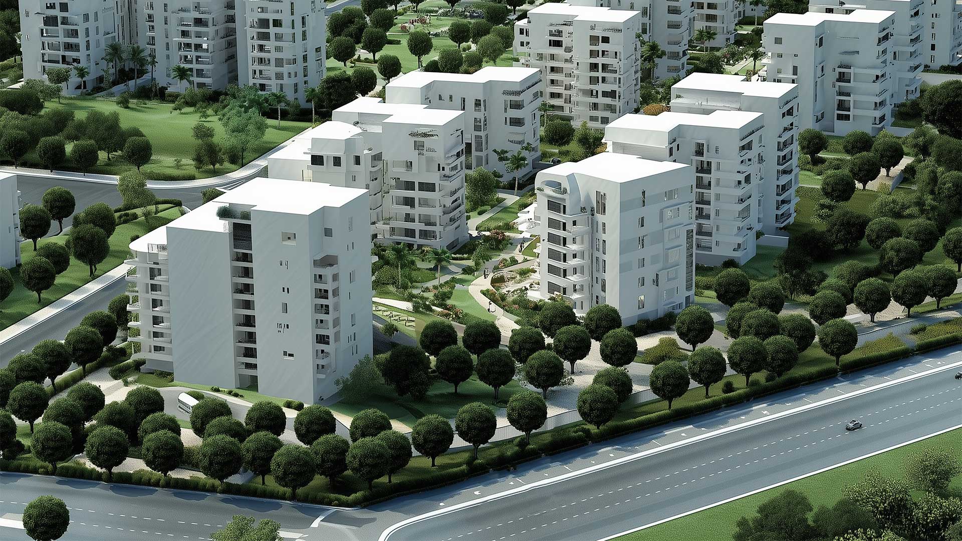
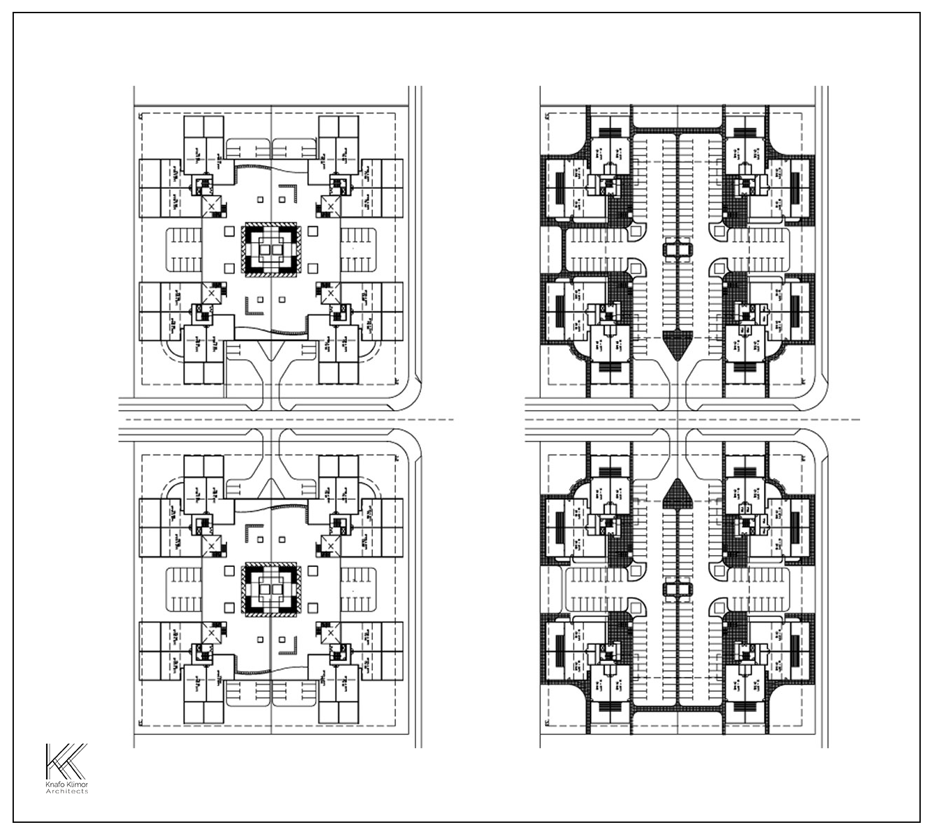
A wide park is planned in the centre of the neighborhood which will create an urban meeting place for local residents. The proposed development offers a variety of residential models: typical residential high-rise building and ground floor houses, around a semi-public space for the benefit of the building residents.
Public institutions are located along the roads within the optimum utilization of land. A significant wide green strip with a promenade, playgrounds and extensive green areas will connect the neighborhood and the main roads.